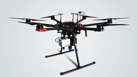

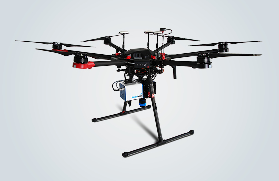
Hyperspec VNIR system with DJI M600 drone
Ready-to-use solution for airborne hyperspectral imaging for the spectral range from 400 to 1000 nm.
Includes:
- DJI M600 drone with carrying case
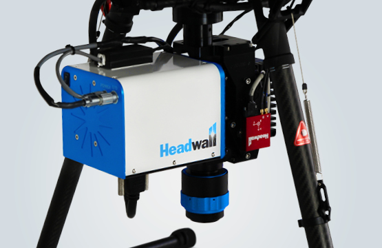
- Nano-Hyperspec camera with VNIR lens
- GPS / GNSS / INS position sensor for flight parameter control and image correction
- Hyperspec III and spectral view software for flight planning, postprocessing and orthorectification, spectral classification and analysis, integration of geospatial and hyperspectral data (GoogleMaps overlay).
- Radiometric calibration of camera and lens
- Calibrated reference tarp (9m², white and 2 gray values)
- 1 year technical support
Options:
- Additional LIDAR module
- High resolution GPS / INS module (recommended for LIDAR recordings)
- AgView software for calculation of vegetation indices
Applications:
- Precision farming
- Monitoring of environmental damage / pollution
- Forest management
- Remote sensing